- All Photos
- Wilderness
- Glaciers
- Wildlife
- Towns
- Postcards

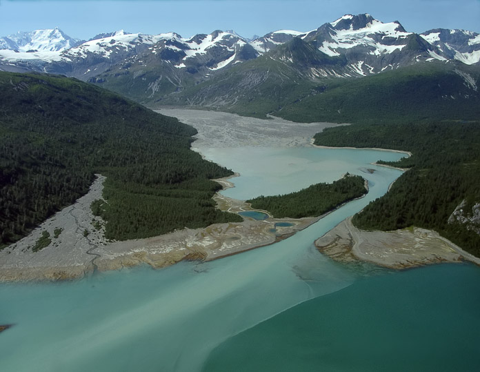
In 1928 the U.S. Navy flew a survey plane throughout Southeast Alaska taking aerial photos. Those photos show that most of the bay shown in the middle of this image didn't exist back then – it was beneath the ice terminus of the Hugh Miller Glacier, which has now retreated back around the corner to the left. Photographer: Bill Eichenlaub