- New in 2020 Photos
- Galleries

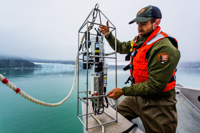
A National Park Service biologist conducts an oceanographic survey in the park nearly every month of the year. The device he is deploying is referred to as a CTD which stands for conductivity, temperature, and depth, and refers to a package of electronic instruments that measure these properties. This survey takes place at about 20 stations distributed throughout Glacier Bay, including a few stations in the adjacent waters of Icy Strait. Through long-term monitoring, trends can be established and data are obtained that help the National Park Service make more informed decisions to manage and protect the park. Photographer: Sean Neilson